Wednesday, August 23, 2023: An active volcano!
Info:
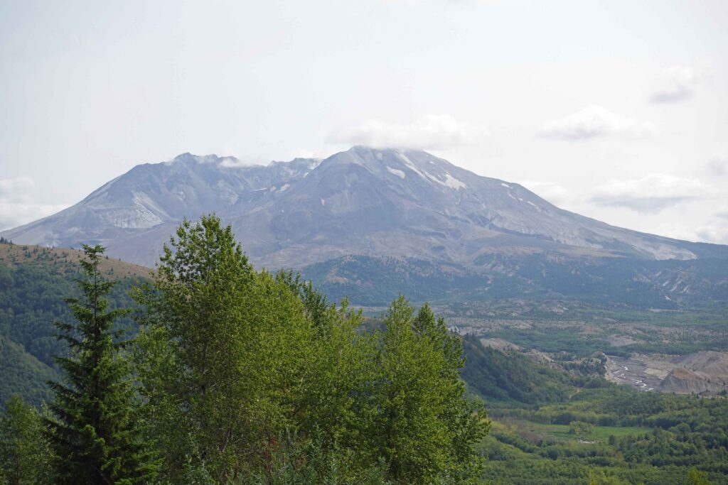
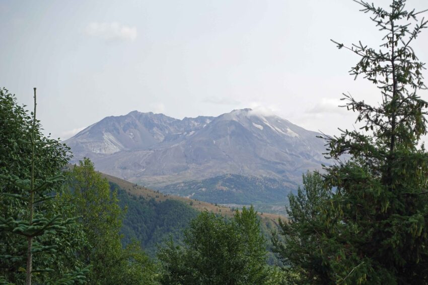
State Route 504 – The Memorial Spirit Lake Highway – takes you through breathtakingly beautiful scenery in southern Washington State to the area where a disaster occurred more than forty years ago. Before the eruption, Mount St. Helens was 2,950 m high. It was considered dormant, but after several earthquakes beginning on March 20, 1980, it erupted on May 18. An area of 500 km2 was destroyed or permanently altered, 57 people lost their lives, 3 km3 of rock were moved, and at the end Mount St. Helens was only 2,539 m high.
But it is growing again.
My opinion:
Fascinating to see how nature regenerates and deals with change.
Diary:
We’re back to geology, plate tectonics, biology – anything I’m willing to take detours for.
The road alone – The Memorial Spirit Lake Highway 504 – is a feat with a total of fourteen bridges. The Hoffstadt Creek Bridge is 713 m long and 113 m high.
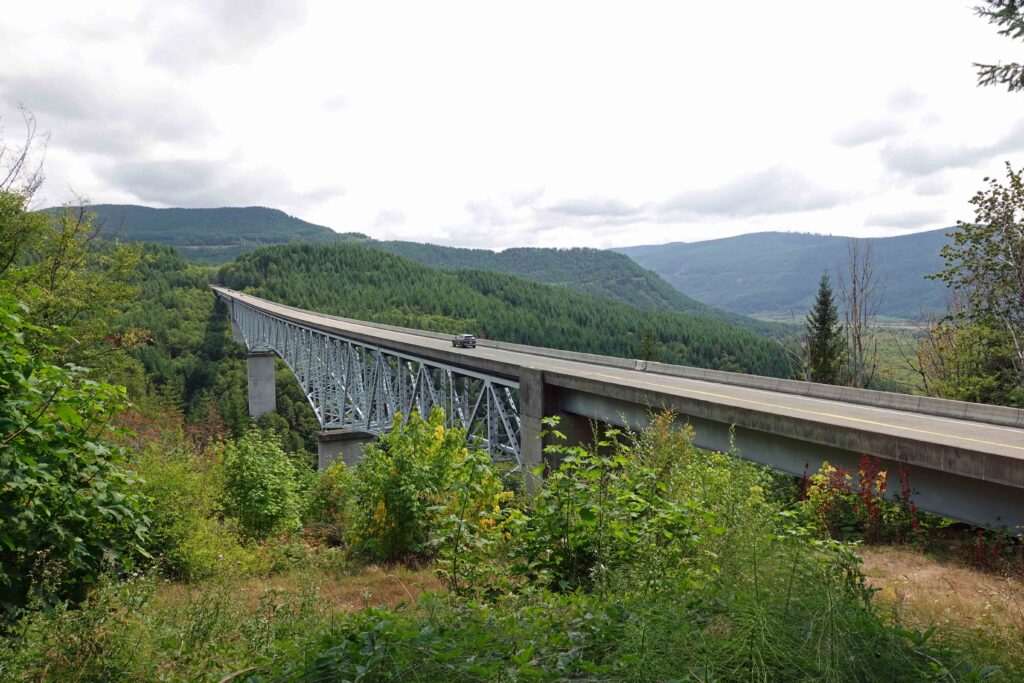
One of the bridges – the last one – was washed out in the spring of 2023, so you can’t get as far to the volcano as usual at the moment, but still, seven miles (11.2 km) as the crow flies isn’t too bad. When that bridge broke, there was a group of several people on the other side. They were on one of the trails. One of the hikers had just lost his car to theft and was traveling with the new one for the first time. This is still on the other side of the bridge … (At least that’s what a ranger told me).
From far away you can see the volcano, which lacks the summit. This is because it slid down, and the rock masses filled the valley of the Toutle River to a height of 50 meters above the original riverbed. Today elks graze there – of course only when I’m not standing on the viewing platform to see them.
In 1981, 10,000 tons of grass and clover seed were scattered over the gray area to stabilize the soil and prevent flooding of villages further downstream.
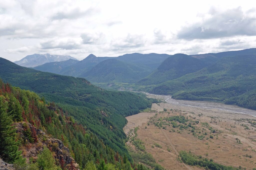
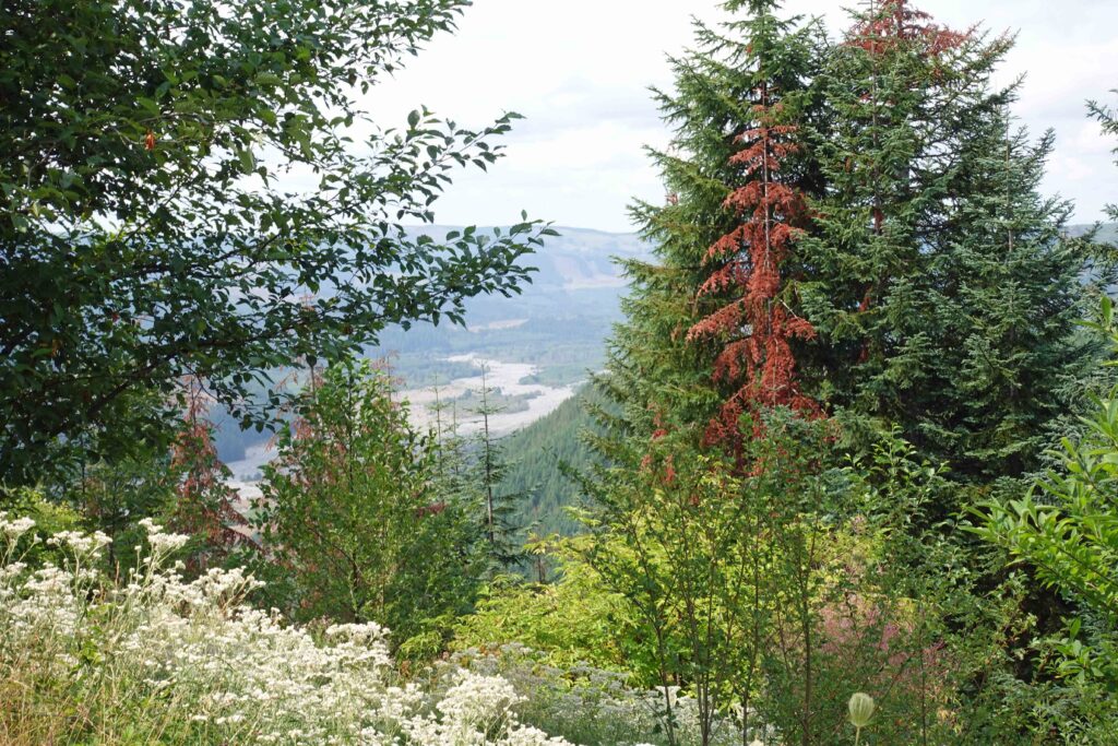
Before it dropped its peak, Mount St. Helens was a volcano as you’d imagine it: perfectly symmetrical and with snow on top. A beautiful stratovolcano, like Vesuvius or Etna. The Fujiyama is also one of them.
And this brings us back to plate tectonics. As we know, plates are pieces of the Earth’s crust that broke apart at some point and whose individual pieces have been floating on the mantle ever since. And bounce against each other, rub against each other, push themselves under or over the other – as it just is.
I have already tortured you with the Ring of Fire in Alaska. From Homer I could see some of the volcanoes that stand around on the edge of the Pacific Plate and occasionally cause excitement.
Mount St. Helens is not alone either. Within a hundred kilometers there are Mount Rainier, Mount Hood and Mount Adams. The only unusual thing about Mount St. Helens is that it is much too far west in the Cascade Mountains to draw its magma from the Juan de Fuca plate, which is pushing under the North American plate there, but is not deep enough at Mount St. Helens to be melting yet. It would be too easy if only the Pacific Plate was to blame for everything. But there in the area, another plate squeezes in the middle of it, is comparatively tiny anyway, a platelet, so to speak, but that causes quite a stir. Just not under Mount St. Helens. So there should be no volcano there at all, because where there is no magma underneath, there is no volcano on top.
But there is still one there. Because Mount St. Helens gets its magma from Mount Adams. It’s just 50 kilometers to the west, which is exactly where it can draw from the full. Enough magma for two!
It’s not that simple, of course, but I’ll stick with the abridged version because I still want to tell you something about the outbreak and the aftermath.
When the north side of Mount St. Helens broke off during the eruption, super-hot water that had previously been trapped in the rock was released. The water vapor and other gases caused an explosion that shattered the rocks and a hot wind carried them away at a speed of more than 1000 km/h. Pulverized rock as fine as granulated sugar covered the area, destroying much of the plant and animal life. The wind sandblasted trees whose needles and leaves were carried along and deposited on the ground. The trunks of entire forests then lay gray, stripped of their leaves and needles. But huge boulders were also hurled through the air.
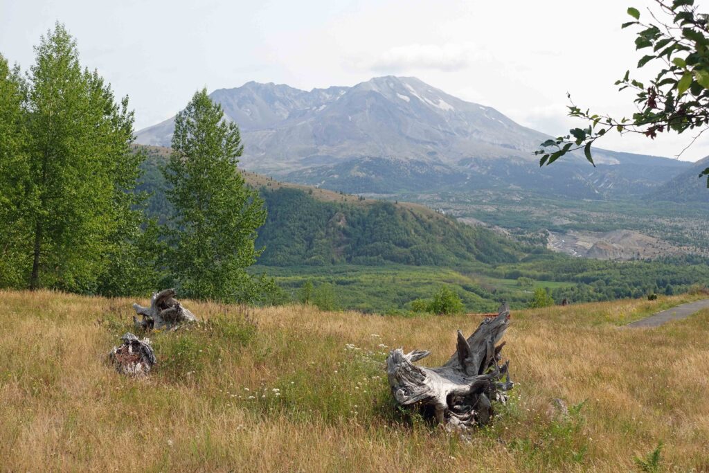

Three years after the outbreak, life began to renew itself. Plants whose roots were not destroyed, sprouted. Others which had been lucky enough to be in the lee of trees slowly recovered. For people, the question arose: reforest or let nature take its course? Both were done, in different places.
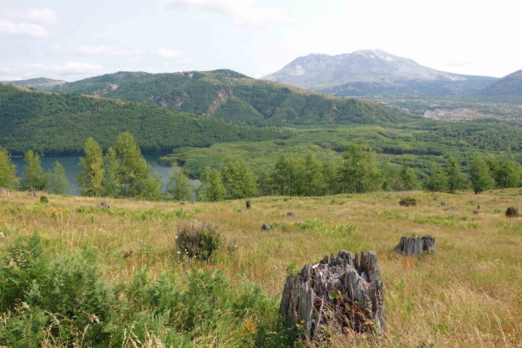

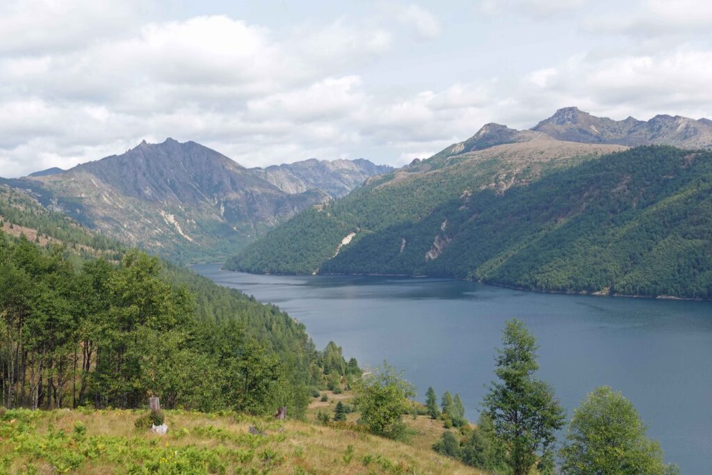
Where Coldwater Lake is today, a stream meandered through the valley before the eruption, Coldwater Creek. As the northern part of Mount St. Helens slid down, the rock blocked the creek. The valley filled with water over the years, creating a lake 8 km long and 55 m deep.
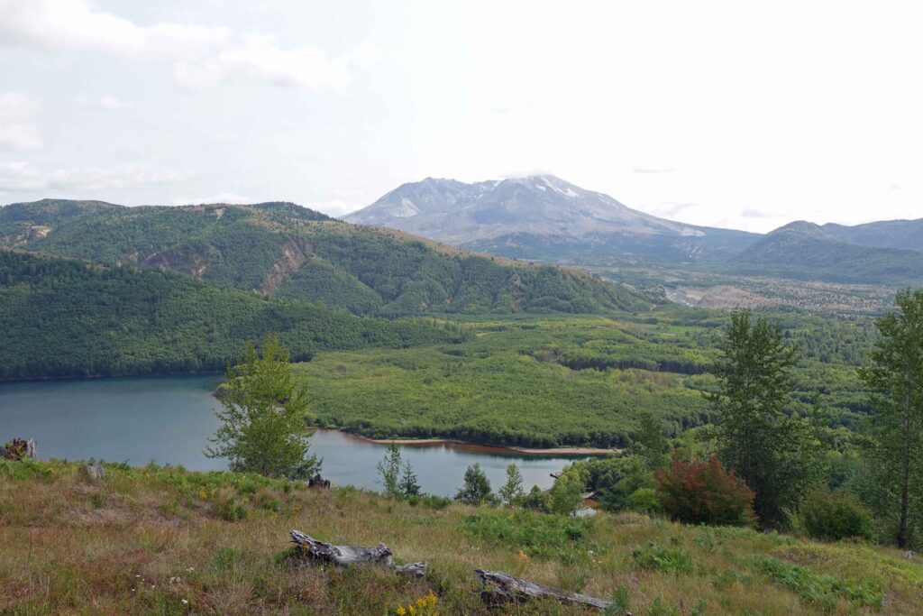
Mount St. Helens still does not give rest. The crater fills with a dome of lava that is constantly growing. When it rains or snows, a cloud of steam stands over the crater, testifying to how hot it is up there.
Since the big outbreak, there have been several smaller ones, the last one taking place in 2008.
