Sunday, August 6, 2023: From a haunted house to a glacier cemetery!
Info:
The town of Whittier can be reached in four ways: by train through a black tunnel, by car through the same tunnel (but at different times), on foot over the mountains, preferably from Portage, or by boat. Exactly in these ways you can leave it again, if you want to. One would like.
Whittier has two skyscrapers, both built by the military in the early 1950s when defense of Alaska was a major issue for the U.S. during the Cold War. The Buckner Building towers gray and dilapidated over the city, a haunted castle.
The other building, Begitch Tower, is home to almost all of Whittier’s approximately 270 residents. Let’s hope for their sake that they get along well.


About 4,000 people live in Valdez today. In 1964, it was a thriving town at the end of a fjord in Prince William Sound. At 5:36 on the morning of March 27, 1964, countless huge fissures appeared in the earth during the Good Friday earthquake, sending mud and water several feet into the air. At the same time, a landslide occurred in the sea below the harbor, causing a 15-meter-high wave to build up, destroying the entire harbor and killing all the people who were working there at the time. By the end of the earthquake and when the tsunamis subsided, there was nothing left of Valdez.
Instead of rebuilding the city, it was decided to build a new one about 6 km to the northwest in a safer place. Valdez is the terminus of the Alaska Pipeline. To this day, Alaska has not overcome the tragic events surrounding the Exxon Valdez.
My opinion:
I don’t want to comment on Whittier.
Valdez … one of the most beautiful places of the whole trip, if not the most beautiful at all.
Diary:
After finally tearing myself away from Homer, I decided not to make another stopover on the Kenai Peninsula, but to drive straight to Whittier, spend the night there, and take the ferry to Valdez the next day. The ride through the tunnel was described a bit complicated, I did not want to do that to myself in the morning. In reality, it was then very simple. Why do they have to complicate all official things on the internet like this – be it national parks, ferries, tunnels, bus connections – it always reads like a dissertation on space engineering!


Whittier was something I was curious about. Where else in the world does the entire population of a town live in a single house, which then also contains a hospital, a school, a church, etc.? And where else has the U.S. military left an all-surpassing ruin? I walked past it. The voices you hear are quite creepy. I don’t want to know what I heard there.


Whittier is mostly made up of things that are parked. First of all, hundreds of cars. Hundreds of mobile homes. Thousands of boats. Hundreds of containers. Countless train cars.


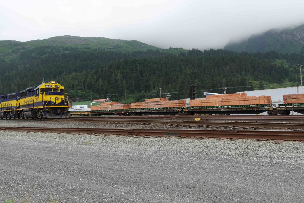


In between, there is the smell of the fish catches. The high-rise building has been renovated with friendly colors, but the few people who live here do not manage to make their place look friendly. Many houses are dilapidated, underscored by the Buckner Building, the ubiquitous gray ruin on the hill.
A positive surprise was the campsite – totally cheap and very nice, although without sanitary facilities, let alone showers. In the middle of a forest behind Whittier, a stream fed by a glacier waterfall behind, then it goes steeply uphill to said glacier, which one sees however only from the sea.


I was walking along, lost in thought, on a sidewalk in the middle of Whittier when a black bear crossed the street behind me. I don’t have a photo of that one. (I was too busy to come out of it intact).


The next day Annie Way was squeezed so tightly between two other vehicles on the ferry that I had no chance to get out. Fortunately, the sliding door just opened, so I was able to squeeze through with much difficulty. The trip took almost six hours.


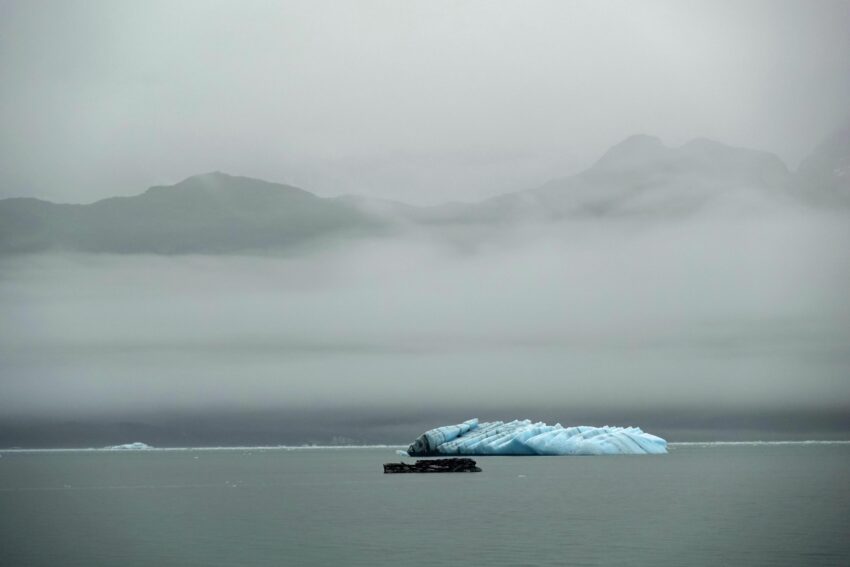
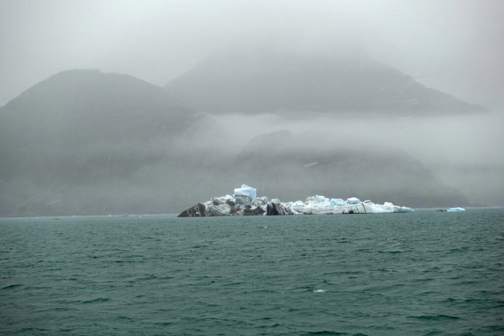
Several glaciers were visible on the trip, a group of porpoises accompanied us for a while, and then suddenly icebergs appeared. Not big ones, but they looked incredibly melancholy. That’s when I realized that I really needed to take a tour to the Columbia Glacier where they came from.


In Valdez, two gentlemen gave me different instructions at the same time on how to steer Annie Way out of her tricky situation. The rearview mirrors were folded in, so I was “blind” to the sides. Finally, I got them to agree on a common line, and then it worked. Still – not a very pleasant experience.
Valdez was a completely different story. Next to the ferry dock were a museum, the Visitor Center, and a large square where a festival was in progress. Again! So much effort would really not have been necessary because of me!


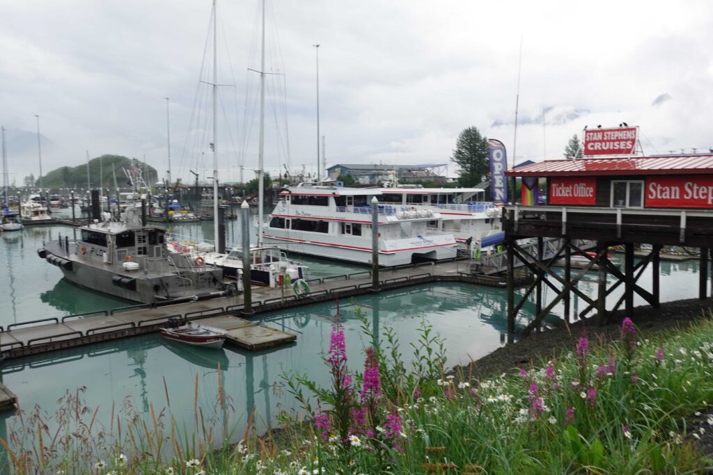
The campground was nice and I first made a tour towards the harbor. What a difference from Whittier! Flowers everywhere you look, everything clean, friendly, to feel good. The surroundings with the mountains and glaciers in addition – dreamlike!
In the morning I booked a tour to the Columbia Glacier for the following day. Then I marched to Crooked Creek, a creek that salmon migrate up in August. Not very far, because there is a waterfall. There were very few salmon there.


The next stop was the Hatchery across the bay. Valdez liegt ziemlich am Ende des Fjords, sodass es ans gegenüberliegende Ufer nicht weit ist. The oil storage facilities of the Exxon company are also located there.
It was just high tide, and millions of salmon were on the move to get to their spawning grounds. In the middle of the hustle and bustle lay the sea lions and only needed to open their mouths – which they did.
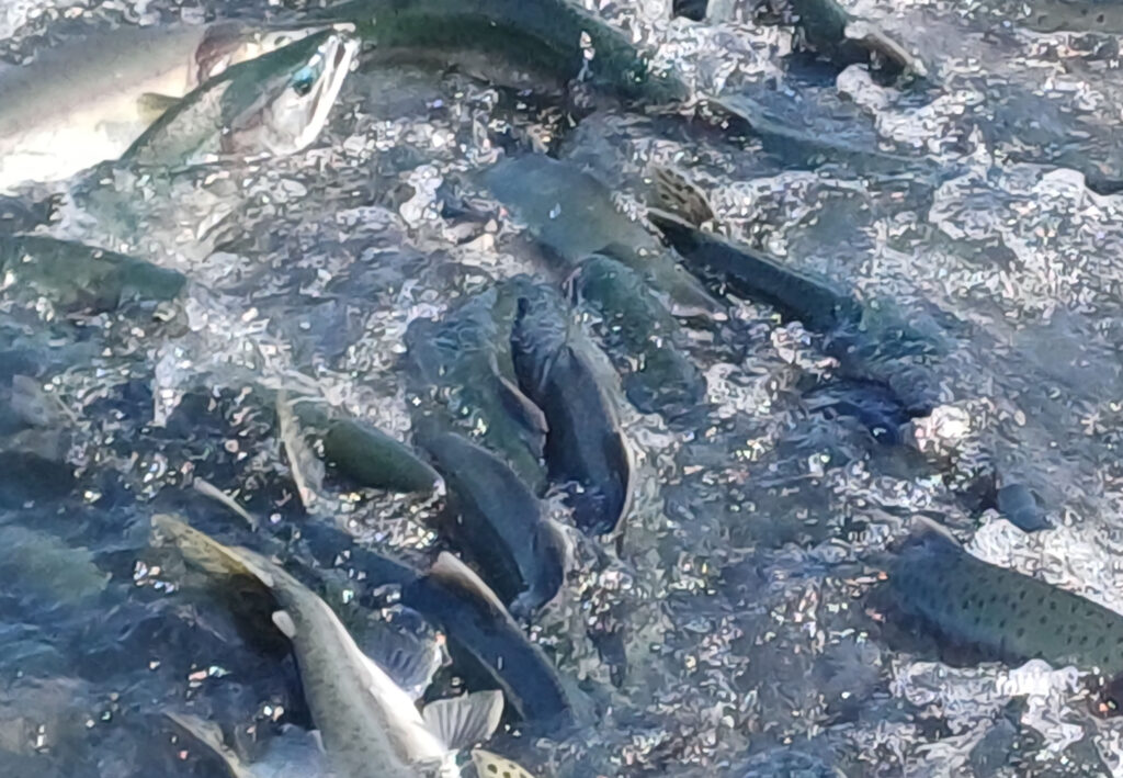
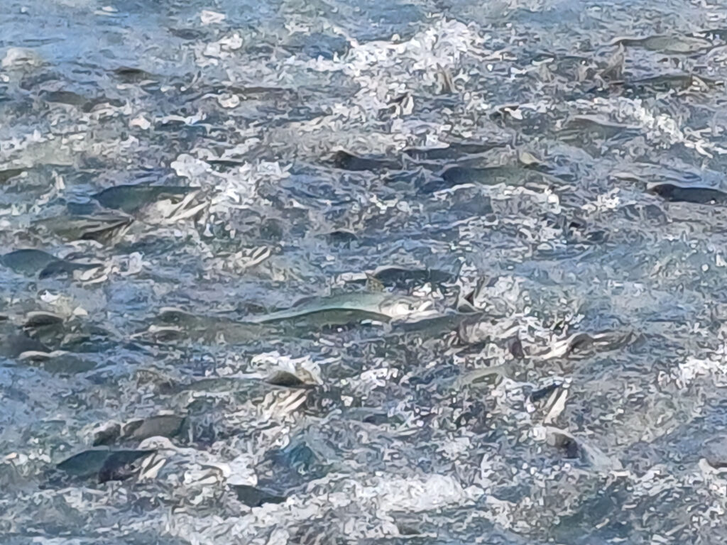
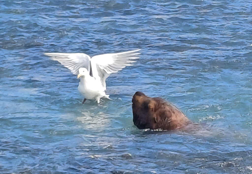

A male Steller Sea Lion weighs between 500 and 1,100 kg, alternately. It gorges itself in the summer, only to slim down to less than half its weight in the winter. Females vary only between 320 and 360 kg.
The spectacle of salmon and sea lions was also mixed with seagulls. For so in the middle of the land of plenty, the sea lions took only the best bites from the fish, and the rest belonged to the sea gulls.
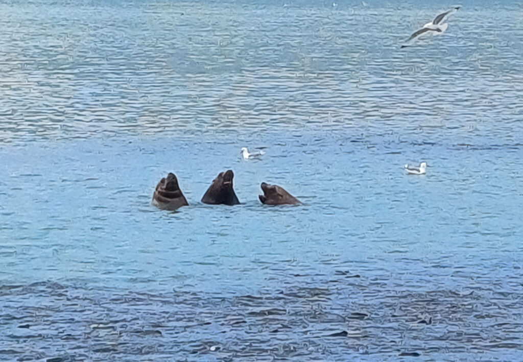
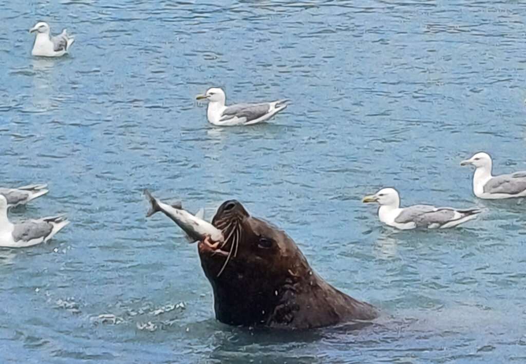
I was there again two days later, it was low tide. Just as many salmon, just as many seagulls, but no sea lions. Instead, thousands of dead fish on the mud banks.


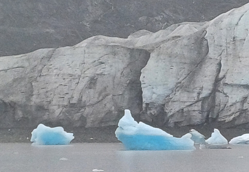
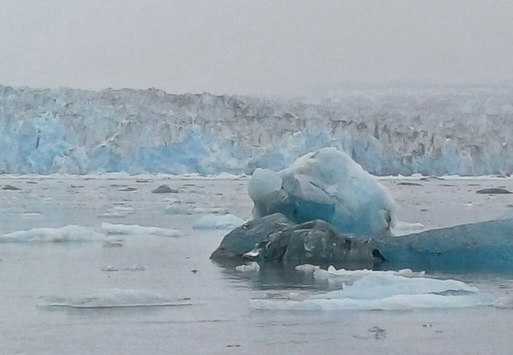
A special experience was the tour to the Columbia Glacier, which calves so extremely that on some days ships cannot even go there because it is too dangerous due to the many icebergs. We were lucky that it rained, and when it’s not sunny, less ice melts. The colors are white, black and blue. Black comes from the silt and gravel, the material that the glacier took with it on its way to the sea. White is the ice once it has melted. Blue, if it is real glacial ice, formed by pressure from snow.
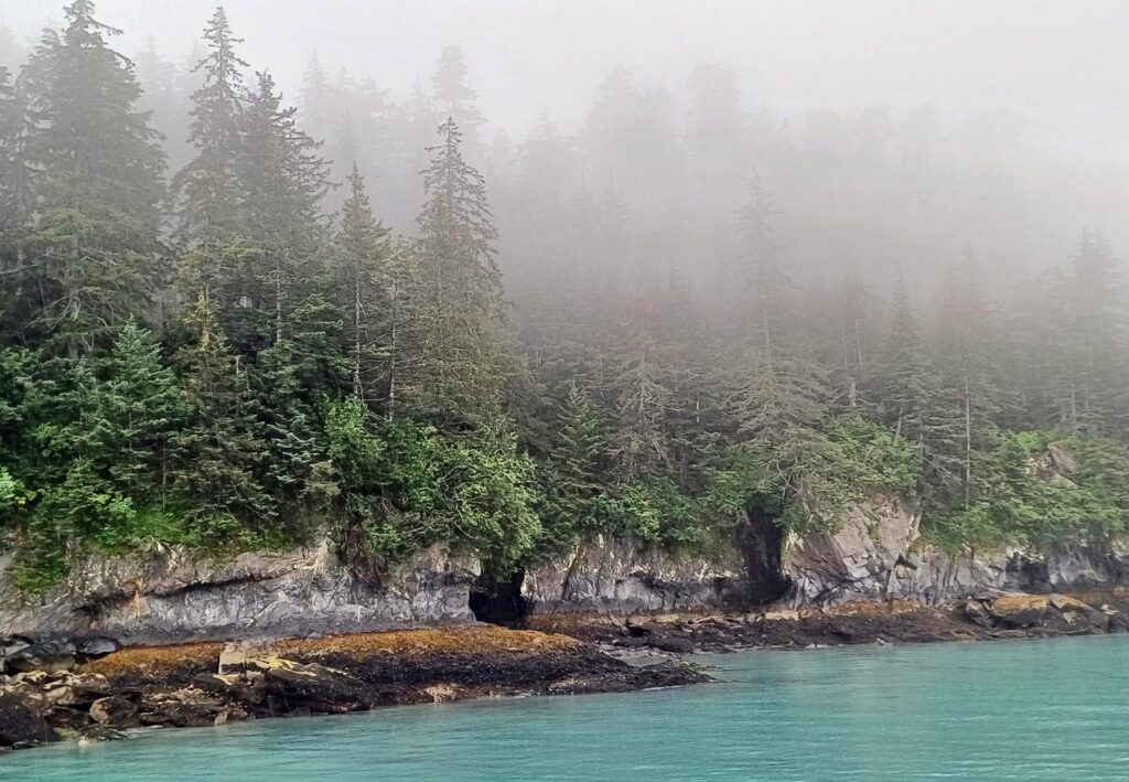


Nearly 80,000 km2of Alaska (i.e., almost the area of Austria) is covered with glaciers, accounting for 5% of the state’s total area.
In the south of Alaska there are many glaciers because there is a lot of snowfall. North of the Alaska Range, in Denali for example, there is a desert climate in terms of precipitation because the mountain range acts as a cloud barrier. That is why there are no glaciers in northern Alaska.
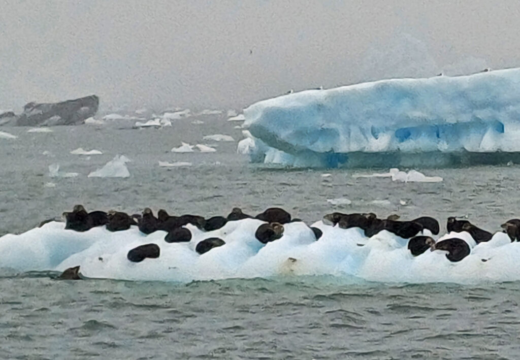

Valdez is the snow capital of Alaska with an average snowfall of ten meters per winter. But there has also been a winter with 25 m of snow. Keeping Valdez’s streets clear of snow in the winter so that life in the city doesn’t grind to a halt is a particular challenge.
The Columbia Glacier is two miles (3.6 km) wide at its end. It was the last of Alaska’s glaciers that flow into the sea to begin retreating, and it didn’t do so until 1978. Since then, it has retreated 25 km from the sea and is constantly calving. About 9 km remain, then it will end on land. The many icebergs and smaller ice floes in the water give the impression of a graveyard with tombstones. Here, a glacier is dying.


The icebergs of the Columbia Glacier are one of the reasons for the Exxon Valdez oil spill. 1989 was one of the first years when icebergs constantly crossed the shipping routes.
While today about 20 oil tankers a month leave the port of Valdez, back then there were many more. When a tanker left, an experienced navigator who knew the Valdez fjord intimately was on board.
The Exxon Valdez left shortly after midnight on March 24, 1989, and everything went according to plan. The pilot handed over to the captain and left the ship, the captain located icebergs on the intended route, reported it and asked to be allowed to change course to a different lane. He was allowed to do so, as were three other tankers the day before. After the course change, the captain engaged the autopilot and handed over to the 3rd mate with instructions to return the ship to its original course or it would head for the reefs.
The mate made the course change, but did not notice that the autopilot was engaged.
By the time he noticed that the ship had not left its original course, it was too late. An oil tanker takes several kilometers to stop.
That in itself would not have been a disaster. The weather was beautiful, the sea calm. If they had started immediately to capture and pump out the oil, it would not have dispersed.
For three days there was sunshine. During these three days, there were discussions about who was to blame for the disaster, who was responsible for the measures and who had to pay for them.
When it was agreed that Exxon would have to pay for it, there was no equipment to pump out the oil because it was buried under a 10-meter snowpack somewhere near Valdez. And at the same time the usual winter storms started again, bringing huge waves. Recovery of the oil was out of the question in the following weeks.
When the storms subsided, the oil had spread to the southwest and covered more than 2,000 km of coastline.
Even today in southern Alaska, oil is encountered when lifting a rock or digging into gravel on the coast.
Since then, oil tankers must be double-walled. The pilot goes out with each tanker until the ship has passed the shoals. Two ships with the strength to stop a tanker or correct its course accompany it out to sea. One of them is physically connected to the tanker, the other can be connected immediately. All the equipment needed to capture and pump out oil is stored at various locations along the coast and can be deployed within minutes. And there are no longer several tankers leaving each day, but “only” twenty per month.
The Alyeska Pipeline, which terminates in Valdez, is 800 miles / 1,280 km long and begins in Prudhoe Bay on the Arctic Ocean. Valdez has acted as a terminal for the oil since 1977.
But back to my trip to the Columbia Glacier. It was far from over after the captain had informed us extensively about the accident with the Exxon Valdez. Because then we drove back. Experienced sailors know not only how to steer a ship, but also where to go to see whales. But also the right behavior, so as not to drive the whales away, has to be learned. Two orcas accompanied us for such a long time that our tour finally lasted an hour longer than planned – because who turns away when whales are there?

And now imagine this: You open the door of your campervan in the morning and stand in front of a panorama that is unparalleled. Mountain peaks tower on all sides, many covered with glaciers and snowfields. In front of you there is a pretty town that invites you to take a stroll and enjoy a morning coffee overlooking the fjord.


The fact that it was not easy for me to leave Valdez can perhaps be illustrated by this.
But I would be back in Alaska just two days later. And a bit of Yukon Territory in between is nothing to sneeze at – on the contrary! For as incredibly beautiful as Alaska is … At the bottom of my heart, it’s still the much less spectacular Yukon where I felt most at home.
However, I must qualify my initial comments about the people of Alaska. I’ve also met so many open, friendly people here that I’ve long since come to see the greed in Denali Village that originally shocked me so much as an isolated phenomenon. Three weeks, possibly a little more than three weeks, I had planned for Alaska. 33 days have passed. There’s probably a reason for that.
